
Walk a Bullhead City Street
A useful street-by-street search starts with one complete, standardized address. The Mohave County Assessor connects that site to a parcel number, legal description, taxable owner, and tax-mail destination. The Mohave County GIS Interactive Map Viewer then places the parcel beside nearby lots. Those two sources prevent a loose street-name match from becoming a false identity claim. A parcel owner can be a person, trust, estate, or entity, and the address receiving the tax notice may be far from the physical site.
Move through the Bullhead City street directory in a fixed order. Save the parcel number, often called the APN, at every step. It is a stronger bridge between land systems than a street label that may have changed.
- Standardize the address, then search the Mohave County Assessor parcel search for the situs and APN.
- Open the Mohave County GIS viewer, select the parcel, and inspect the lots along the same street.
- Compare owner, situs, mailing address, subdivision, lot, and legal description without treating any one field as proof of occupancy.
- Use the owner and an approximate transfer date in the Recorder index, then match the deed by APN or legal description.
- Add permit, tax, and verified historical directory evidence only when the question calls for it.
Bullhead City Street Search Fields
The Assessor is the sound first stop for an address query because the Recorder warns that its address and parcel fields are not consistently indexed. The county roll covers taxable ownership, not a household roster. Search by the smallest reliable fact, then compare the returned legal and map details. Mohave County reports 258,932 parcels countywide, so an exact site address or APN cuts down false matches.
| Assessor field | Input | Best use | Main caution |
|---|---|---|---|
| Parcel Number / APN | County parcel identifier | Exact land match | Confirm current punctuation rules |
| Owner Name | Surname or entity | Find taxable ownership | Owner does not mean occupant |
| Situs Address | Street number and name | Start a by-address search | Some parcels lack a normal site number |
| Subdivision / legal | Subdivision, lot, or block | Bridge older place labels | Legal wording must be matched carefully |
A result may include land use, acreage, tax area, value components, building facts, a sketch, and transfer references. Those facts make the street directory more precise, but they still describe the assessed parcel. They do not identify every person at the address.
Note: A matching situs and mailing address supports possible owner occupancy, but it never proves who shares the home.
Map Bullhead City Street Parcels
GIS turns one address into a geographic run. Search the address or APN, zoom until parcel outlines are clear, and click each lot in sequence. Available controls include search, layers, basemaps, identify, zoom, measure, and map output. Layer names can change in the live ArcGIS application, so use the map for parcel geometry, boundaries, imagery, and street context rather than assuming every visible label is an official resident fact.
The street directory gains value when the map is paired with individual Assessor cards. Record each APN and open its ownership detail. Do not copy names from map labels alone. Aerial views can show the shape and setting of a parcel, while subdivision and jurisdiction layers help distinguish Bullhead City from nearby unincorporated county or reservation geography.
- Parcel
- A mapped unit of land used for assessment and record links.
- Situs address
- The physical site address, distinct from the destination for tax mail.
- Plat
- A recorded map that lays out lots, blocks, streets, or subdivision boundaries.
- Criss-cross directory
- A directory arranged by street and house number rather than only by surname.
Note: If the map has no radius tool, pan and select parcels one at a time instead of estimating who belongs to a block.
Bullhead City Records by Address
No single public file answers every street question. Each source has a narrow role. The Assessor identifies taxable ownership. GIS establishes placement. The Recorder shows recorded transactions. Treasurer material supplies tax context, while city permits and code files may date work or an address event. Voter data is tightly limited by Arizona law and cannot be turned into an online street roster.
| Address source | Keeper | What it can show | Access route |
|---|---|---|---|
| Assessment roll | Mohave County Assessor | Owner, APN, situs, mailing, legal, values | Free portal or counter |
| Parcel map | Mohave County GIS | Shape, adjacency, boundaries, imagery | Free viewer |
| Deeds and liens | Mohave County Recorder | Parties, document dates, land references | Web index from 1988; counter earlier |
| Property tax | Mohave County Treasurer | Payment and delinquency context | Portal, map, or counter |
| Permits and code | Bullhead City | Project or case events tied to a site | City page or focused records request |
| Voter file | County Recorder | Lawfully released registration fields | Restricted statutory request |
These records chain through the APN, legal description, document number, and address. Keep each field with its source date. That practice prevents a current Assessor name from being placed on an older permit or deed without proof.
Turn Bullhead APNs Into Deeds
After the current owner is known, use the Mohave recorded-document search. The public grantor-grantee index begins in 1988. Enter names last-name-first with no comma, and add an approximate transaction date when possible. Search results can provide a party role, recording date, document number, document type, book and page, and an image-access indicator. Match the property through the legal description or APN where those fields appear.
The linked Recorder screen shows why a Bullhead City street directory should move from Assessor evidence to party-name searching rather than trust a raw address query.
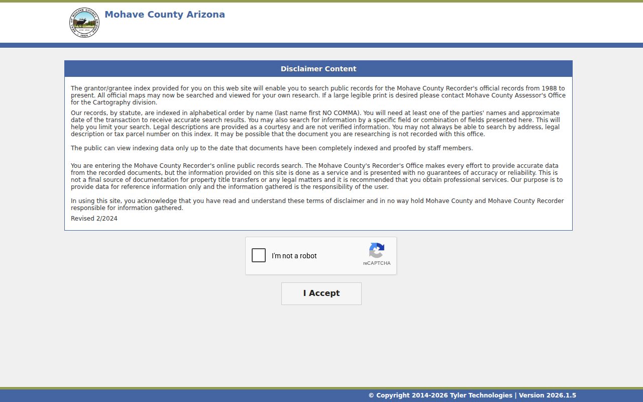
The captured index is a finding tool, not conclusive title evidence. When an address or parcel search fails, repeat the owner-name search with spouse, former surname, trust, or entity variants.
For recording services, maps, certified copies, and staff channels, consult the Mohave County Recorder Recording Division.
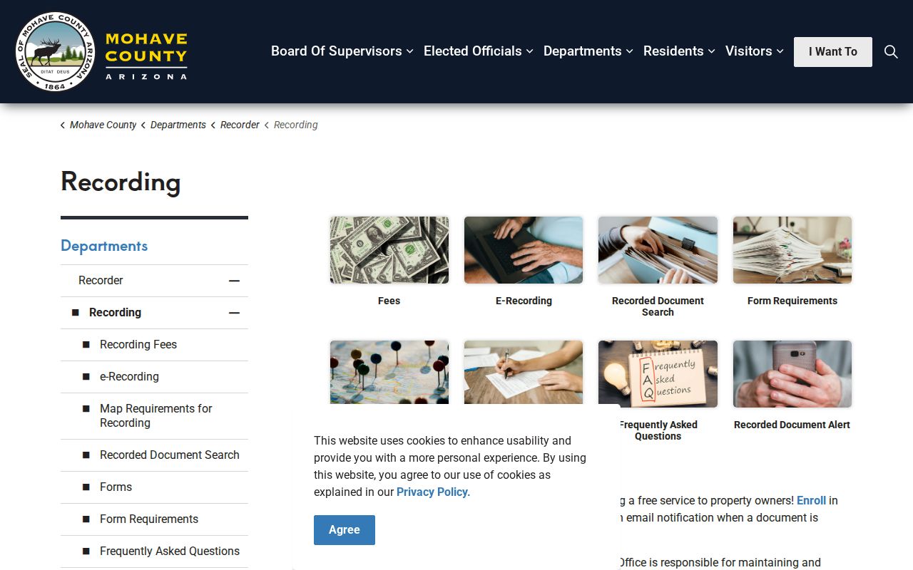
The Recorder’s service page confirms that deeds, mortgages, liens, releases, affidavits, maps, and plats belong to the recorded-document trail.
Bullhead City Streets Before 1988
The online cutoff is a real boundary, not the start of land history. Carry the last verified deed’s party names, book and page, document number, APN, and legal description to Recorder staff. The Bullhead City satellite counter at 1130 Hancock Road offers local help and current copies Monday through Thursday, 8 a.m. to 5 p.m., with a noon to 1 p.m. closure. The main Kingman office at 700 West Beale Street is open weekdays and is the key contact for older books, microfilm, and certification questions.
Bullhead City incorporated in 1984. Earlier records may use Riviera, Holiday Shores, Davis Dam, a subdivision name, or Mohave County rather than the modern city label. No authoritative citywide street-renumbering year was found. For an old or inconsistent address, preserve the APN, lot, block, subdivision, and full legal description while changing the place-name query. That land language can survive changes in postal or civic wording.
Note: No verified source documents a courthouse fire that erased Bullhead City ownership records, so do not assume a missing web result means loss.
Bullhead City Address Timelines
Permits and code cases can turn a static parcel into a dated property timeline. A focused Bullhead City public-record request can seek the site address, permit number, owner or applicant, contractor, project description, issue and final dates, inspection events, valuation, and status. An applicant may be a contractor or agent. Code material can date a violation and compliance event, but complainant or investigative details may be withheld.
Tax information adds another layer. The Mohave County Treasurer provides property-tax and delinquent-tax information. Its public page is useful when the question concerns payment or tax-lien context, not household identity.
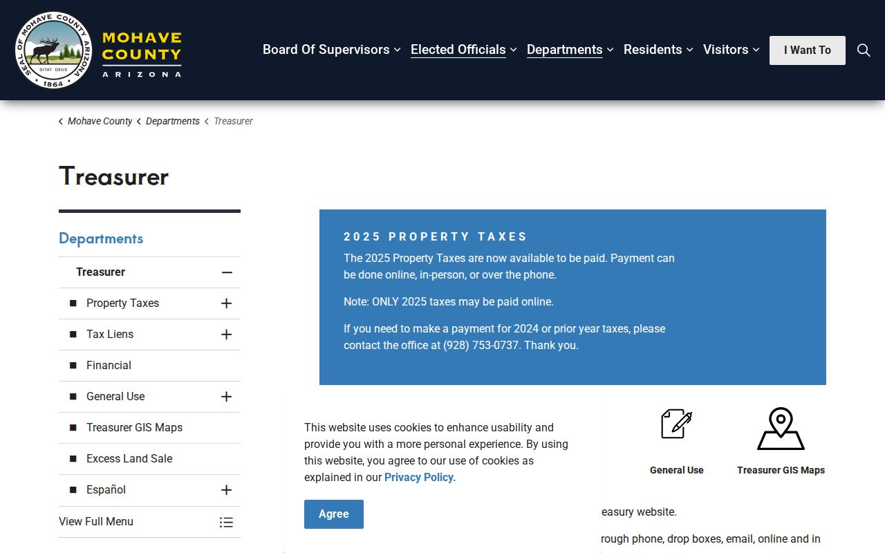
The Treasurer view belongs after the parcel has been verified, since a tax account follows the land record and does not name all people using the site.
Bullhead City Street Directory History
For past occupants, ask the Bullhead City Branch Library at 1170 East Hancock Road, 928-758-0714, to search its catalog and wider library network. Useful terms include telephone book, cross-reference, criss-cross, Haines, Bullhead, Riviera, Mohave Valley, and Kingman. A reverse volume, when available, changes the query from surname to street and house number. The exact Bullhead publishers and year runs were not verified in an official shelf list, so confirm the volume and coverage before citing an entry.
Copy the title page, publication year, coverage note, abbreviation key, and full entry. One edition may omit unlisted numbers or people who did not respond. A name’s absence is not proof of absence from the address. For a full account of how local and state collections work, use the Bullhead City city directory resource rather than guessing at a shelf run.
Bullhead City Voter Street Limits
The Arizona Voter Information Portal is a self-service tool for a voter’s own registration, polling location, and ballot status. It is not a public browse-by-street directory. A full Mohave County voter file requires a formal request, an allowed purpose under A.R.S. § 16-168, advance payment, certifications, and acceptance of limits on use and transfer. Internet posting is prohibited. Protected voters’ actual addresses are withheld.
Even an authorized file has a defined scope. It may include full name, residence and mailing address, birth year, party, registration date, precinct, an early-voting-list indicator, and a phone or occupation if supplied. Month and day of birth, identifying numbers, signatures, email, and specified family-origin data are redacted. Registration does not prove current presence, and voting history never reveals ballot choices.
Note: The lawful street directory path relies on parcel and deed sources, not a republished voter list.
Bullhead City Street Directory Limits
A public address search cannot prove every resident, child, guest, protected person, utility customer, delivery subscriber, or person with a motor-vehicle address. It cannot turn a tax-mail address into a home address. Seasonal use is common along the Colorado River, and trusts or entities often hold title. A distant owner mailing address can be ordinary, while an identical situs and mailing address is still only supporting evidence.
The safest labels are narrow: assessed owner, tax-mail destination, recorded party, permit applicant, or historical directory entry. Each should retain its date and custodian. When the task shifts from current land evidence to who lived here before, the Bullhead City previous residents trail keeps the historical question separate.
Lawful use. Bullhead City address records are for lawful personal research, property history, and civic understanding. Never use them to stalk, harass, intimidate, or harm anyone.