
Bullhead City ZIP Directory Zones
Bullhead City has two geographic ZIP codes in the research record and two codes used for post-office boxes. The geographic codes divide the city broadly into a northern area and a central-to-southern river corridor. That is useful orientation, not a surveyed boundary. USPS routes mail, while Mohave County and city systems decide parcel and jurisdiction questions. Station assignments and active box codes should always be checked live because no official static boundary map or dated ZIP realignment record was verified.
| ZIP | Local reach | Postal service | Record-search note |
|---|---|---|---|
| 86429 | Northern Bullhead City, the Davis Dam and Laughlin bridge vicinity, and Bullhead Parkway-area development | Bullhead City postal service; verify the station through USPS | A geographic ZIP whose edges need parcel-level confirmation |
| 86442 | Central and southern Bullhead City, including Hancock Road, Riviera, and much of the established river corridor | Bullhead City branch service | The principal geographic ZIP, with box service also available |
| 86430 | Post-office boxes | Bullhead City post office | Not a neighborhood footprint |
| 86439 | Post-office boxes | Bullhead City post office | Verify that the assignment is active before relying on it |
A postal code can narrow a long list of addresses, but only a site address, assessor parcel number, or legal description anchors a property. No per-ZIP population figures were verified in the official source set, so the Bullhead City ZIP code directory does not turn Census ZIP Code Tabulation Areas into postal boundaries.
Bullhead City PO Box Records
The two box-only codes are a local trap. A box code points to mail service, not to a block where people live. It cannot be shaded as a residential district or used to identify adjoining parcels. A person, trust, or business may receive mail at a box while the linked home or land has a different situs ZIP. Situs means the physical site address. The mailing destination is simply where tax notices or other mail goes.
The safest check begins with the official USPS ZIP Code Lookup. The successful capture in the image manifest shows the city-and-state lookup entry point used to confirm Bullhead City postal codes.
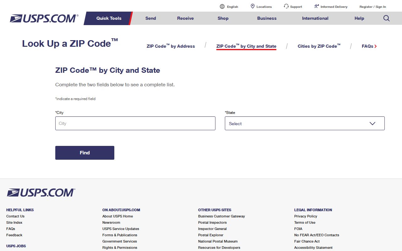
After USPS standardizes an address, the parcel roll supplies the site and legal context. That second check keeps a box address from being mistaken for a home.
Key point. A PO-box ZIP is a mail route, never proof that a person occupies land within a matching map area.
Run a Bullhead ZIP Lookup
No explicit ZIP-wide filter was verified in the Mohave County Assessor portal. A sound Bullhead City ZIP lookup therefore moves from postal validation to geography, then to individual parcel cards. That method takes longer than entering one code into a people list, yet it preserves the difference among postal label, city jurisdiction, parcel ownership, and residence.
- Enter the full address in the USPS tool, or use city and state to check the postal codes tied to Bullhead City.
- Open the Mohave County GIS viewer and locate the standardized address or its assessor parcel number.
- Open the linked assessor record. Record the situs, mailing address, owner name, parcel number, subdivision, and legal description without treating the owner as an occupant.
- If the goal is a set of nearby addresses, repeat the parcel check within the chosen geographic ZIP. Move to the Bullhead City street directory once the search has narrowed to a named street.
This process can find assessed owners and land records. It does not produce every renter, family member, guest, or protected person in the ZIP.
USPS Fields for Bullhead Records
The USPS tool offers two useful paths. The address path validates one full destination and may return ZIP+4. The city-and-state path lists codes tied to a postal city. Neither path decides whether land is inside Bullhead City limits. Use the output as a clean input for county records, not as the last word on geography.
| Lookup field | How to use it |
|---|---|
| Street address | Enter the full number and street for address-level standardization. |
| City | Use Bullhead City to check the preferred postal label. |
| State or ZIP | Select Arizona or supply a known code to narrow the result. |
| Find | Run the check, then copy the standardized result into GIS or the assessor search. |
USPS does not publish property ownership, municipal boundaries, or parcel identifiers in this result. Those belong to separate record systems.
Bullhead ZIP Records in GIS
Bullhead City stretches north and south along the Colorado River. The Mohave GIS map can place a standardized address among parcel lines, nearby streets, boundaries, and aerial context. Its search box may accept an address, parcel number, or place depending on the active locator. The research did not verify a dependable whole-ZIP selector, so use the map to test actual parcels rather than to infer a full postal boundary.
The Mohave County public-records portal is another channel when a needed addressing or GIS record is not already exposed.
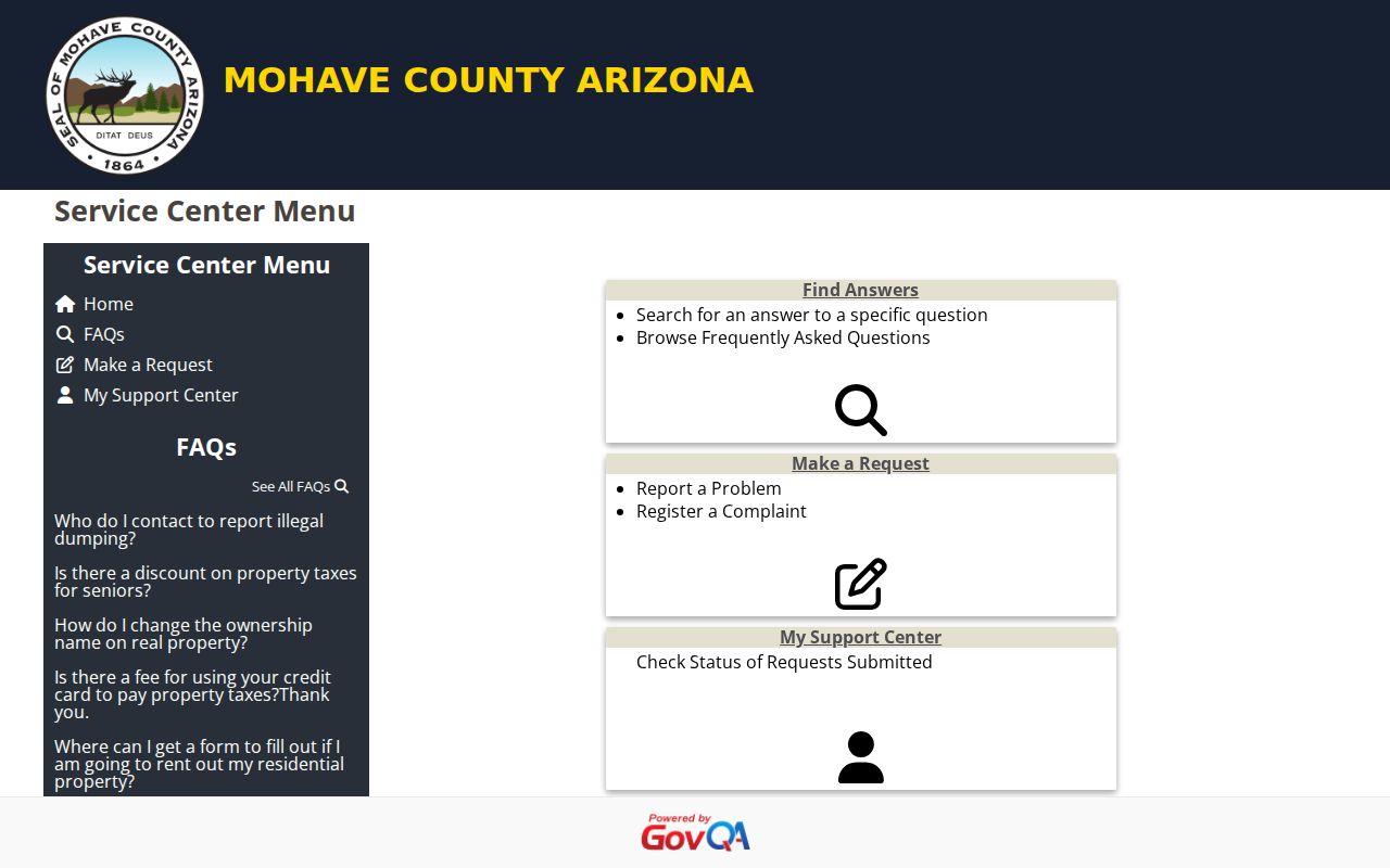
A narrow request should name the record series, date range, address or parcel, desired format, and whether inspection or copies are sought. Arizona agencies need not create a new ZIP analysis.
Note: Preserve the parcel number and legal description when postal labels conflict, because those land identifiers survive mail-name changes.
Bullhead ZIPs and City Limits
Postal Bullhead City and incorporated Bullhead City are not the same map. USPS assigns mail routes. City limits control city services and municipal records. Mohave County parcel and tax areas describe land administration. Nearby Fort Mohave, Mohave Valley, unincorporated county land, and the Fort Mojave Indian Reservation add more jurisdiction lines. A Bullhead postal label cannot by itself prove that a permit, court, or land record belongs to the city.
The local vital-records channel also illustrates the split. The Mohave County Public Health vital-records service can issue eligible Arizona birth and death certificates, but current certificates are restricted by statute and are not a ZIP-wide resident index.
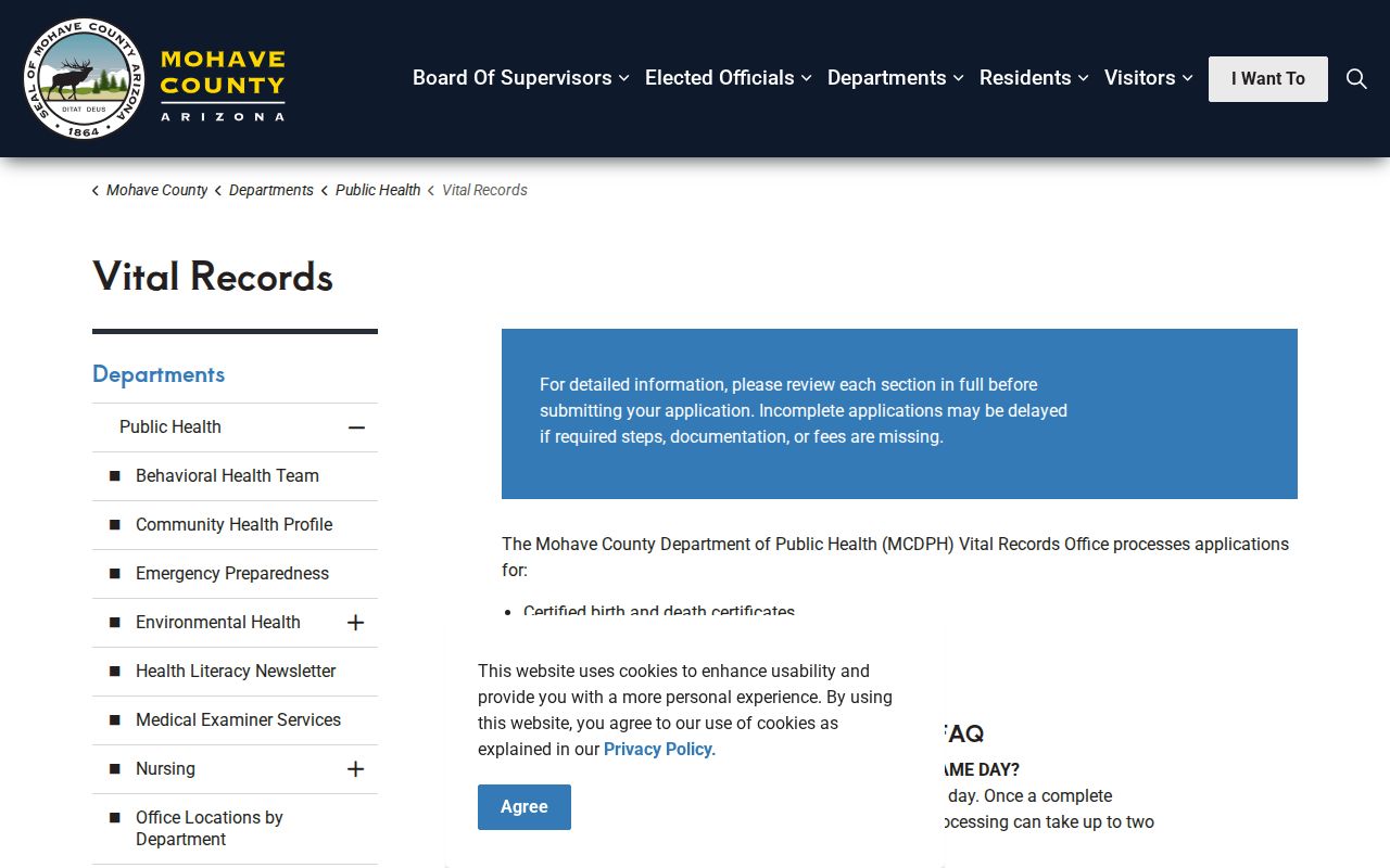
The image reinforces that office jurisdiction and legal eligibility, not a postal code alone, determine access. Marriage and divorce records take a different route through the Clerk of Superior Court.
Bullhead ZIP Address Terms
Four similar labels solve different problems. Learning them prevents a ZIP code directory result from being stretched beyond what the underlying record proves.
- ZIP code
- A USPS routing code attached to delivery areas or post-office boxes. It is not a municipal boundary.
- ZIP+4
- A more exact mail-routing code for an address, box group, or delivery segment.
- PO-box ZIP
- A code assigned to box mail. It has no residential neighborhood footprint.
- Carrier route
- A mail-delivery sequence within a ZIP. It is not a public list of household occupants.
- Situs address
- The physical property location shown in a parcel system, which may differ from the owner's mailing address.
Legal descriptions, subdivision names, lot and block references, and parcel numbers belong to the land record. They can remain stable even when a street number or postal label shifts.
Voter ZIP Records Stay Restricted
Arizona's individual voter portal is for a voter to check registration, polling, early-ballot, or provisional-ballot information. It is not a public browser for everyone in one Bullhead City ZIP code. Full Mohave County voter data can include residence and mailing addresses, birth year, party, registration date, precinct, and certain supplied fields, but access requires a statutory purpose certification and advance payment. Internet posting is prohibited.
The official Mohave voter-record request page states the route and limits.
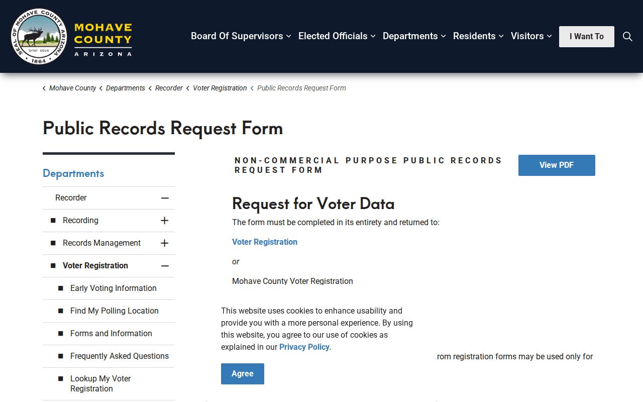
Protected voters' actual addresses do not appear in public lists. Month and day of birth, identifying numbers, signatures, and email are among the redacted fields. A ZIP search must respect those limits.
Tri-State Bullhead ZIP Clues
Bullhead City faces Laughlin, Nevada, across the Colorado River, while Needles, California, sits within the wider regional orbit. A person may receive mail in Bullhead City yet appear in a Nevada business record or an older California source. Keep each state's records distinct. A matching name across the river is a clue, not an identity match.
Historical searches need more place names. Bullhead City incorporated in 1984 after river communities grew around Davis Dam, Riviera, Holiday Shores, and nearby Mohave County land. Older directory, deed, and census references may use those terms instead of the modern city name. Preserve the APN, lot and block, and legal description while changing the place-name query.
The Bullhead City ZIP code directory is strongest as a first cut. USPS confirms the mail route, GIS tests location, the assessor identifies the taxable owner, and the official custodian supplies any record that remains offline.